Patterns Worth Investigating
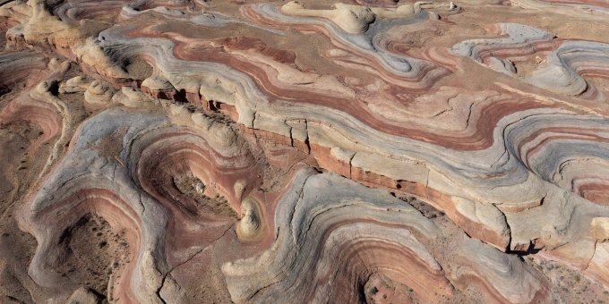
When viewed from the ground, vast structural landforms look like ordinary ridges, dry creek beds, or chaotic boulder fields. Seen from low Earth orbit, these fragments resolve into massive geometric patterns that reveal millions of years of crustal deformation, wind erosion, and ancient climate shifts.
1. Paleochannels: Rivers Beneath the Sands
One of the most remarkable discoveries of spaceborne Synthetic Aperture Radar (first demonstrated during the 1981 Shuttle Imaging Radar experiment, SIR-A) was the ability of microwave signals to penetrate extremely dry sand sheets. In the eastern Sahara Desert of Egypt and Sudan, radar pulses penetrated two to three meters below active dunes, reflecting off ancient, buried river valleys—paleochannels—that flowed during the African Humid Period thousands of years ago.
These hidden networks explained why prehistoric settlements, stone tools, and petroglyphs were situated in hyper-arid wilderness: early humans lived along watercourses that are invisible to modern travelers on the ground.
2. The Richat Structure: Dome Erosion vs. Cosmic Impact
Spanning 40 kilometers across the Adrar Plateau of Mauritania, the Richat Structure (often nicknamed the "Eye of the Sahara") captured early astronaut attention during Project Gemini missions. Its nested concentric rings prompted decades of speculation: was it a massive meteorite impact scar, or an ancient volcanic caldera?
Satellite short-wave infrared spectroscopy (SWIR) verified the presence of concentric limestone, gabbro, and kimberlitic dykes. When French and Mauritanian field geologists drilled core samples, they found no planar deformation features or shock-metamorphosed quartz characteristic of hypervelocity extraterrestrial impact. The feature is an eroded Cretaceous alkaline igneous dome that domed upward and collapsed over 100 million years.
3. Fairy Circles and Termite Self-Organization
In the arid grasslands of the Namib Desert and Western Australia, satellite sensors reveal thousands of bare, circular patches of soil measuring 2 to 15 meters in diameter, distributed in a regular hexagonal pattern. For years, explanations ranged from subterranean gas vents to radioactive anomalies.
High-resolution satellite mapping (0.5m WorldView) combined with ground moisture probes established that the pattern emerges from plant water competition combined with subterranean termite colony foraging. Plants on the perimeter draw soil moisture away from the interior, self-organizing into an efficient ecological matrix.
"Symmetry in nature is tempting to ascribe to intelligent construction or cataclysm. In reality, thermal convection, wind abrasion, and plant competition produce geometry more consistent than human surveying." Journal of Structural Remote Sensing, 2024
4. The Transverse Dunes and Yardang Fields of the Lut Desert
In southeastern Iran, the Dasht-e Lut exhibits some of the highest land-surface temperatures ever recorded by satellite radiometers (Aqua MODIS recorded 70.7°C in 2005). Here, wind erosion creates razor-sharp ridge-and-furrow yardangs over 150 kilometers long.
Spaceborne radar elevation models show how consistent northerly 120-day winds carve soft sedimentary lakebed clays, leaving streamlined corridors that mirror industrial aerodynamic prototypes.